Games like City Bus Manager and Global Farmer are using real-world mapping data from OpenStreetMap for more realistic simulations.
Games like City Bus Manager and Global Farmer are using real-world mapping data from OpenStreetMap for more realistic simulations.
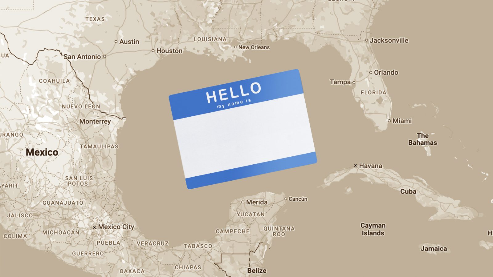
Mapping companies like Google Maps and Apple’s Maps navigate government pressure and political disputes over sea names. Here’s how they decide what to display.

Among all of the visual information published by the U.S. government, there may be no product with a higher information density than the Federal Aviation Administration’s aviation maps.

Who needs GIS when you can build eye-catching 3D topography maps with Python?

Open-source tools underpin technology used by millions of people, but they’re also vulnerable to manipulation.
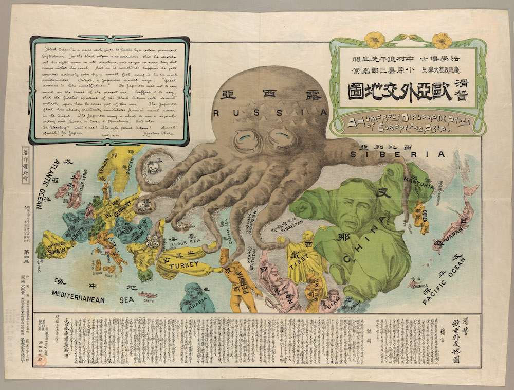
We tend to take a very special interest in archives and maps on this site—and especially in archives of maps. Yet it is rare, if not unheard of, to discover a map archive in which every single entry repays attention.