spatial


Learn to transform geographic data into actionable insights using GeoPandas. From basic maps to finding Chicago's health deserts — complete tutorial inside.

In this article, I'll take you through a practical guide to geospatial clustering with Python. Geospatial Clustering with Python.

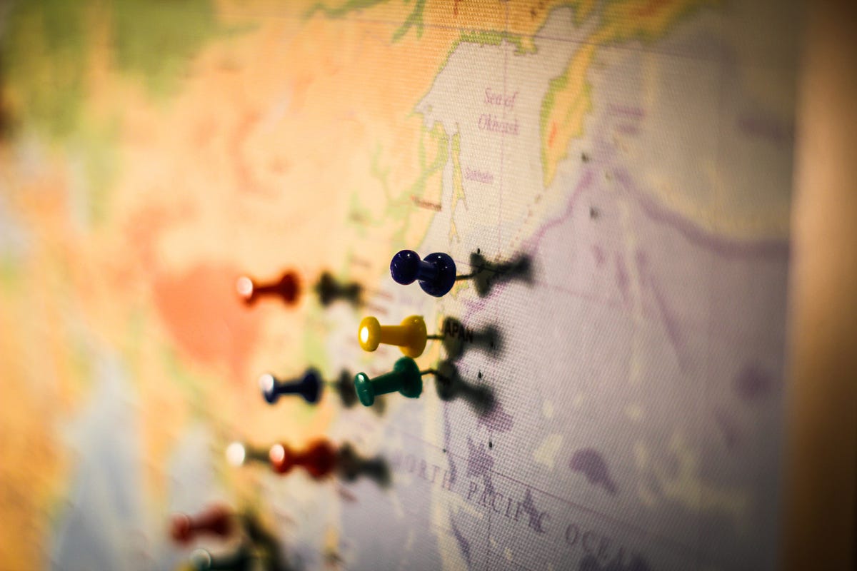
Uncover deeper insights beyond ZIP codes with geospatial analysis. Explore the limitations of ZIP codes and discover alternatives for spatial understanding.
Web magazine about user experience matters, providing insights and inspiration for the user experience community

A book for Spatial Statistics for Data Science with R.
Learn how to manipulate and visualize vector data with Python’s GeoPandas
An end-to-end deep learning geospatial segmentation project using Pytorch and TorchGeo packages

Who needs GIS when you can build eye-catching 3D topography maps with Python?
I recently wrote a post about visualizing weather data from NOAA. We walked through processing the data and making some basic interactive maps with Plotly. In this article I want to use the same data…
Introducing a spatial dimension into hierarchical clustering
:extract_focal()/https%3A%2F%2Fpocket-syndicated-images.s3.amazonaws.com%2Farticles%2F5812%2F1601307462_Lung-Scan_2880x1860_Lede.jpg)
The laws of physics stay the same no matter one’s perspective. Now this idea is allowing computers to detect features in curved and higher-dimensional space.

Beyond virtual and augmented reality
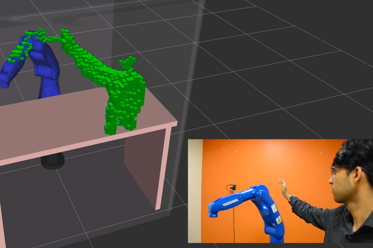
The startup Realtime Robotics, co-founded by former MIT postdoc George Konidaris, is helping robots solve the motion planning problem by giving them collision avoidance capabilities.
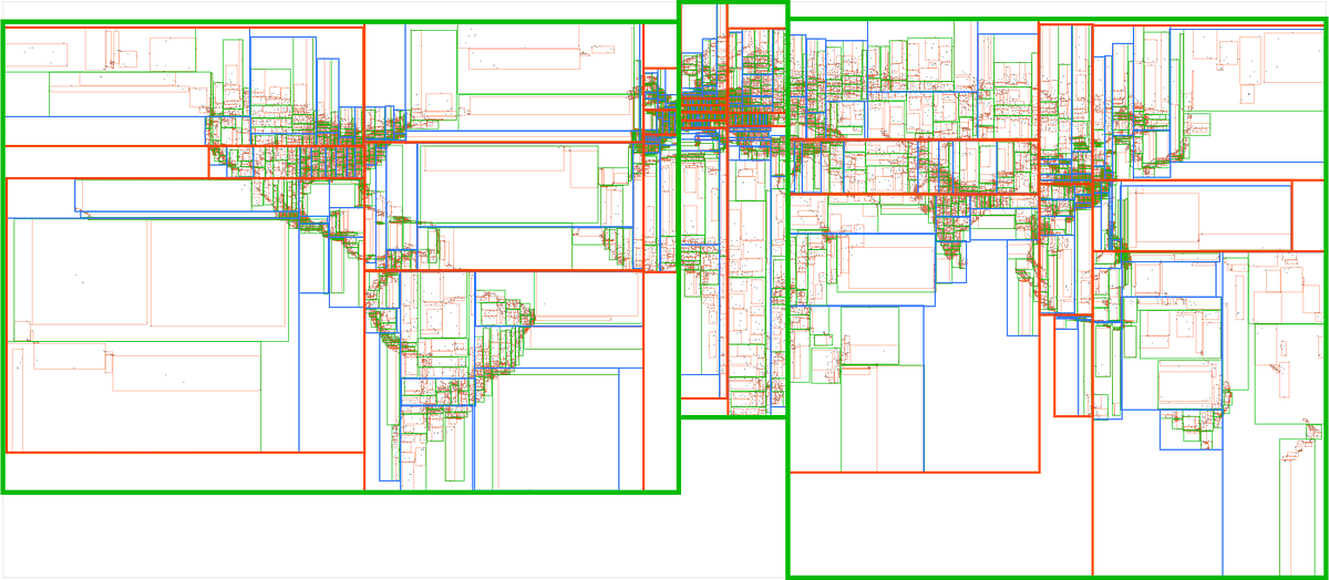
A step by step guide on creating and plotting Voronoi diagrams in Python
Deep dive into spatial autocorrelation and their industry use cases
Searching through millions of points in an instant
Searching through millions of points in an instant